Interactive map for stadiums and sports eventsEvery spectator finds their seat, stress-free.
Thousands of spectators arriving at once, a vast venue, controlled entry points. Signage alone is no longer enough.

The challenge
In a large venue, the spectator experience starts long before kick-off. A fan who has to hunt for their entrance, their stand or the toilets reaches their seat already frustrated. Cartomapix turns your stadium layout into an interactive map, in every spectator's pocket.

Wayfinding
From the gate to the stand, without hesitation
Entry gates, stands, blocks: spectators can see their way before they even go through security.
Refreshment stands, toilets, ticket office, first aid, exits: every area of the venue is clear at a glance. Your stewards spend less time giving directions and more time helping.

Group mode
Meeting up in a venue with thousands of seats
As soon as the tickets are bought, fans share the map to plan their day: entrances, car parks, stand layout.
On site, group mode shows every member on the map. Everyone meets up with no calls and no wandering, even at half-time.

Updates
An entrance changed, a time pushed back: the map keeps up
Gate opening times, pre-match entertainment, a changed entrance: you update the map from your management area, and every spectator sees the new version.
A different layout from one event to the next? Zones can be moved or hidden, with nothing to reprint.
For everyone
Clear to everyone, with nothing to print.
Fans from abroad, finding a service, no more paper maps: the map adapts to every spectator.
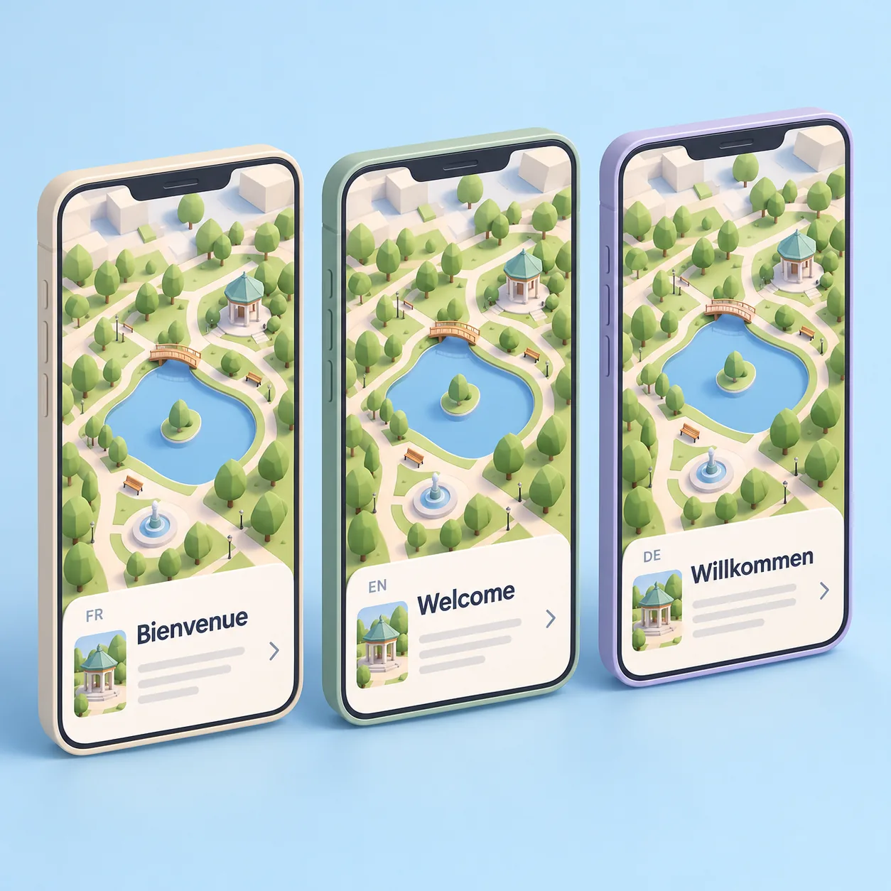
Everyone in their own language
Fans from abroad and visiting delegations read the map in their phone's language.
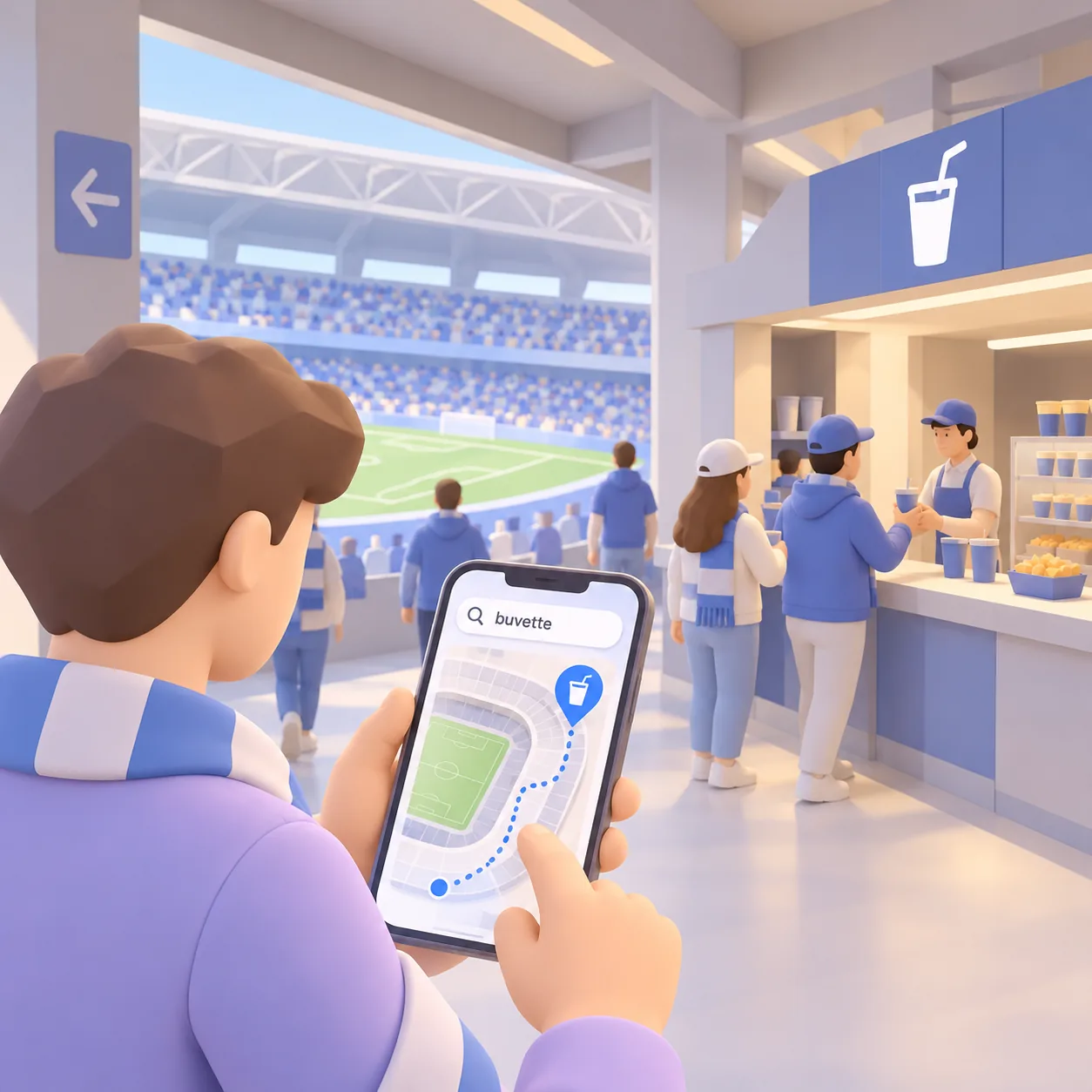
Find a refreshment stand
Spectators type ‘refreshments’, ‘toilets’ or ‘first aid’: the map shows them where it is and how to get there.
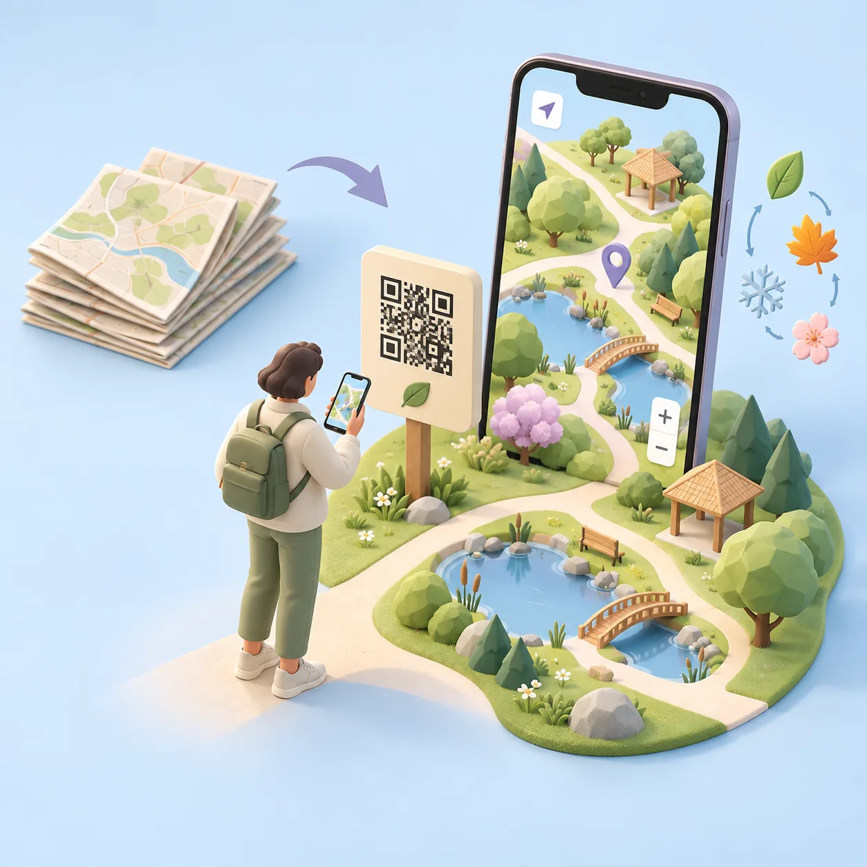
Zero paper
No more maps to reprint for every fixture or layout.
For spectators
Three steps, nothing to install
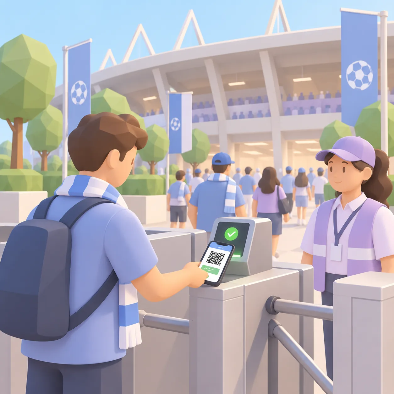
Scan
Spectators scan the QR code on their ticket, at the entrance or on signs around the venue.
Find your way
The 3D map opens in the browser: entrances, stands and services, no app needed.
Enjoy
They reach their stand calmly and meet up with their friends on site.
Interactive demo
Step into Cartomapix City.
Our demo town shows what a spectator sees: spin, zoom, open the information cards. The map of your venue is made to measure.
To scroll the page, swipe outside the frame.
Frequently asked questions
What venue managers ask us
Do people need to download an app?
No. The map opens straight in the phone's browser after a scan, with no app and no sign-up.
Does it work on every phone?
Yes, on recent iPhone and Android browsers. Nothing for the public to install.
Can the map show stands and blocks?
Yes. Stands, blocks and entry gates are placed on the map so everyone can find their way. The level of detail is agreed with you, based on your drawings.
Are spectators from abroad catered for?
Yes. The map appears in the phone's language, chosen from the languages you have enabled.
Who creates the 3D map of our venue?
Cartomapix creates it for you from your existing drawings. No technical skills needed on your side.
Does the map adapt to each event's layout?
Yes. From your area, you move or hide zones to suit each event, with the same QR code.
Let's see what it looks like in your venue.
A demonstration tailored to your site, with no obligation.