3D piste map for ski resortsThe whole resort, in relief, in your pocket.
Slopes, lifts, chalets and services: the interactive 3D map shows the mountain as it really is, with a single scan and no app needed.

The challenge
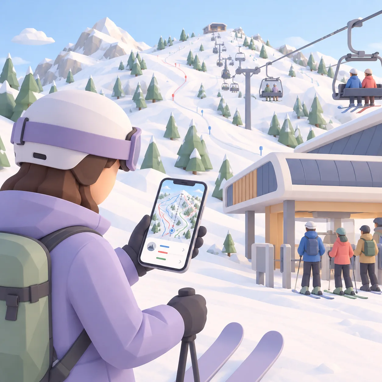
A paper piste map flattens the terrain and is hard to read with gloves on. Skiers hesitate at the bottom of a lift, look for the run that takes them back, and cannot find the mountain restaurant. On an interactive 3D piste map, the mountain makes sense at a glance.
The terrain
Understand the mountain at a glance
In 3D, skiers spin around the ski area and see where the slopes and lifts lead. The terrain becomes easy to read, even for a beginner.
Every lift and every slope has its own information card, showing the details you choose to display.

Services
Mountain restaurants, ski schools, ski hire
Restaurants, ski schools, hire shops, ski patrol, car parks: everything is on the map and found in a few letters.
Your partners can appear on it, with a link to their website.

The programme
Resort activities and events
Torchlight descents, concerts, competitions: the programme is placed on the map with its times.
Holidaymakers no longer miss what brings the resort to life.
Updates
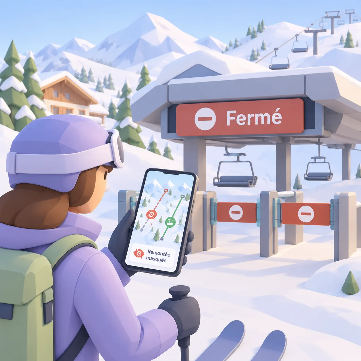
A lift has closed? The map keeps up
From your management area, you hide a closed lift or an inaccessible zone, and every skier's map shows the new version.
The same QR code works all season, and the next one too.
For every visitor
Clear to everyone, with nothing to print.
Languages, groups, updates: the map adapts to every visitor.

Find your group
Everyone sees where their friends are on the slopes and joins them without a phone call.
Everyone in their own language
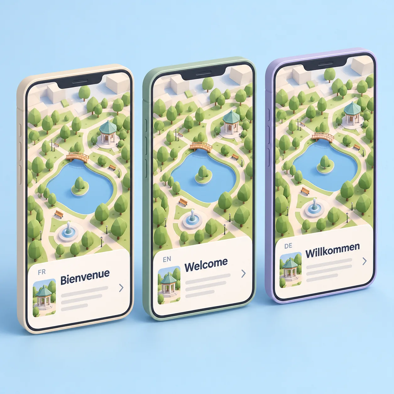
The map appears in the phone's language, chosen from the languages you enable.
Zero paper
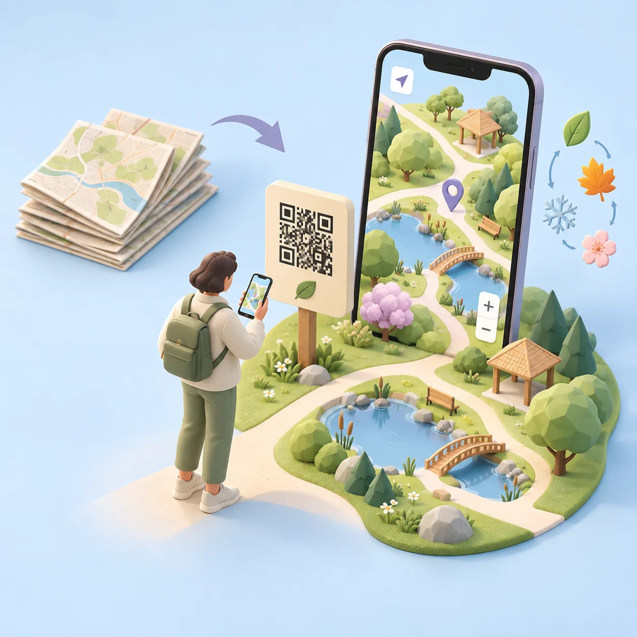
The map is updated online: nothing left to reprint.
For visitors
Three steps, nothing to install
Scan
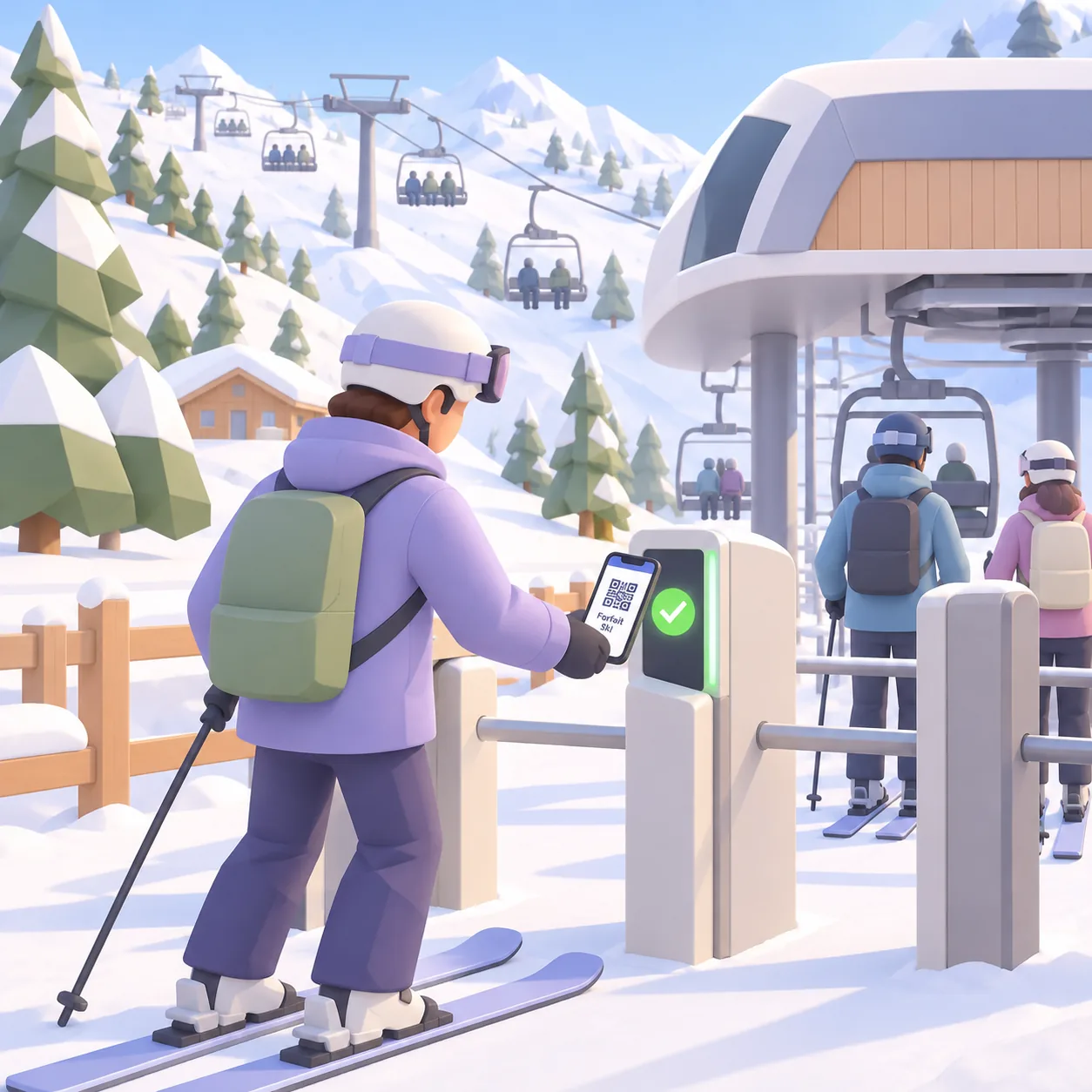
Skiers scan the QR code at the ticket office, on their lift pass or at the foot of the slopes.
Explore
The 3D map opens in the browser, no app needed.
Enjoy
They choose their slopes, find services and meet up with their group.
Interactive demo
Step into Cartomapix City.
Our demo town shows exactly what a visitor sees: spin, zoom, open the information cards. Your venue's map is made to measure.
To scroll the page, swipe outside the frame.
Frequently asked questions
What people ask us
Do visitors need to download an app?
No. After a scan, the map opens straight in the phone's browser, with no app and no sign-up.
Does it work on every phone?
Yes, on recent iPhone and Android browsers. Visitors have nothing to install.
Does the map show which slopes are open in real time?
The status of slopes and lifts is updated from your management area. A link to your existing systems is considered case by case.
Can it cater for my international guests?
Yes. The map appears in the phone's language, chosen from the languages you enable.
Who makes the 3D map?
Cartomapix builds it for you from your existing plans. No technical skills needed on your side.
Let's see how it looks for your resort.
A demo tailored to your venue, with no obligation.