Interactive map for zoos and wildlife parksEvery visitor finds their favourite animals.
A large site, scattered enclosures, feeding times at set hours. The interactive 3D map helps every family organise their visit, with a single scan.
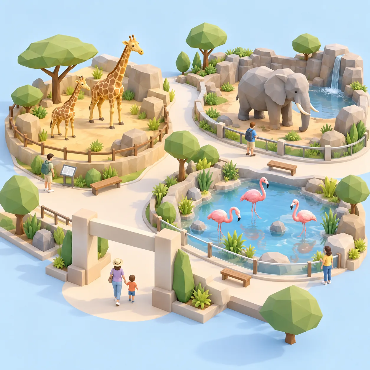
The challenge
A wildlife park means a lot of walking. A family that misses the sea lion feeding or goes round in circles looking for the giraffes leaves with mixed memories. Cartomapix puts every enclosure, every service and every event on an interactive map, in the visitor's pocket.
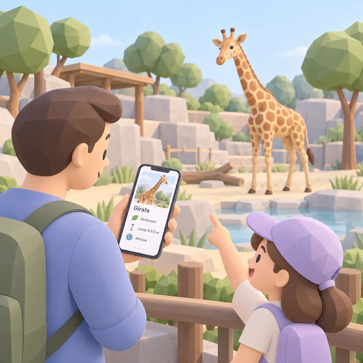
Enclosures
Spot the habitats and choose your route
Every enclosure is placed on the 3D map with its own information card: photo, species, educational content.
Visitors see where they are and reach the habitat they are looking for, without retracing their steps.
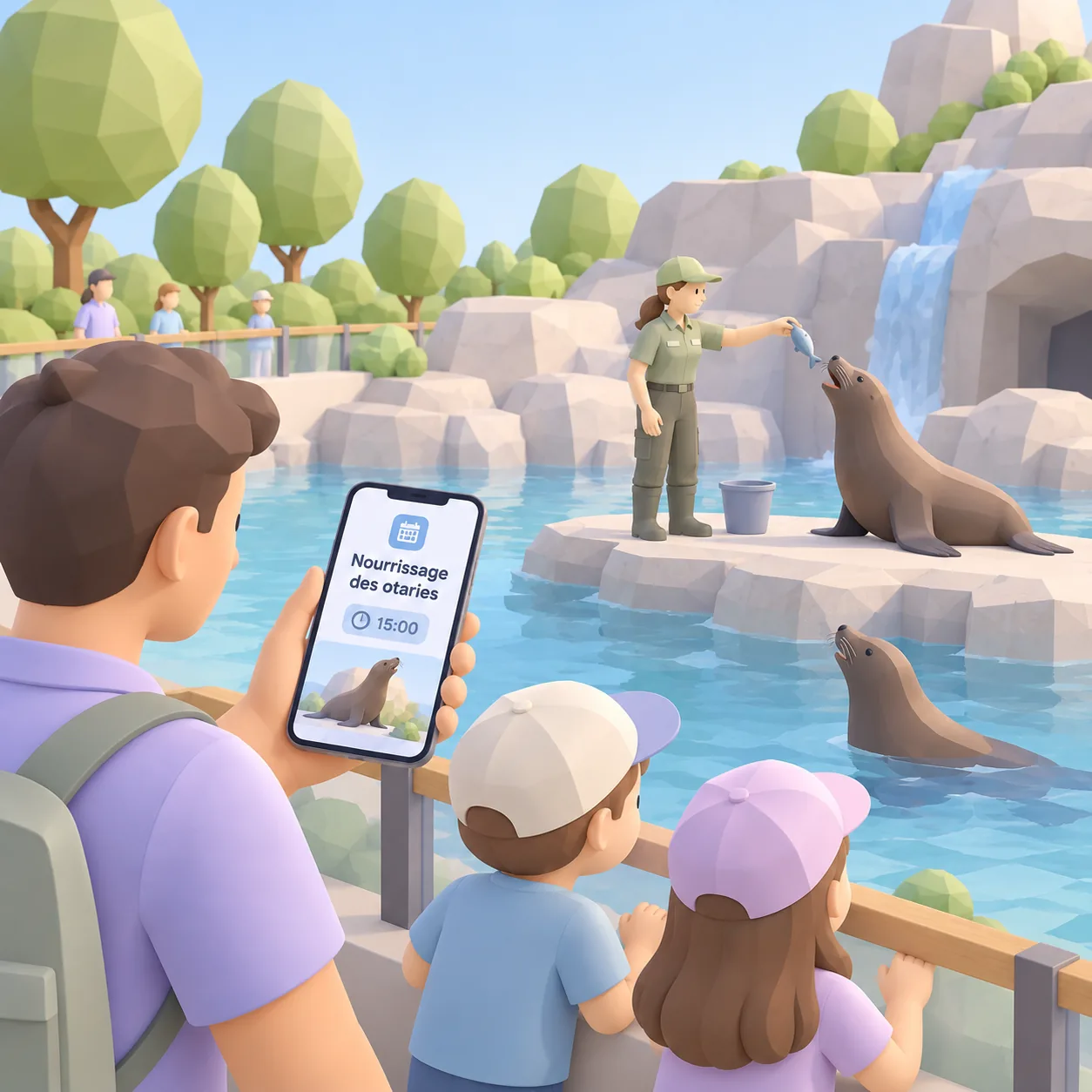
What's on
Feeding times and activities, at the right moment
Feeding times, shows, keeper talks: today's programme is placed on the map with its times.
Families organise their day around the moments they do not want to miss.
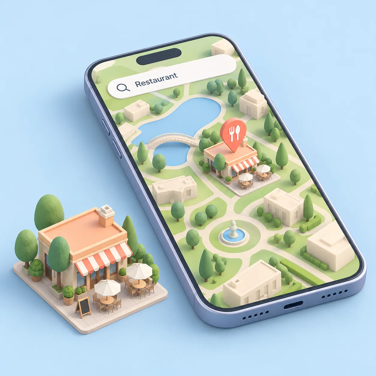
Services
Toilets, food and picnic areas
On a large site, knowing where the toilets or the next rest area are makes all the difference, especially with children.
Search finds the most useful service in a few letters.
Updates
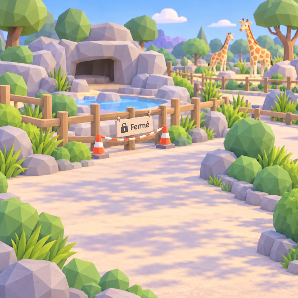
An enclosure has closed? The map keeps up
An enclosure under works, an animal resting, a path closed: from your management area, you hide or edit whatever changes.
The map shows what is open today.
For every visitor
Clear to everyone, with nothing to print.
Languages, groups, updates: the map adapts to every visitor.
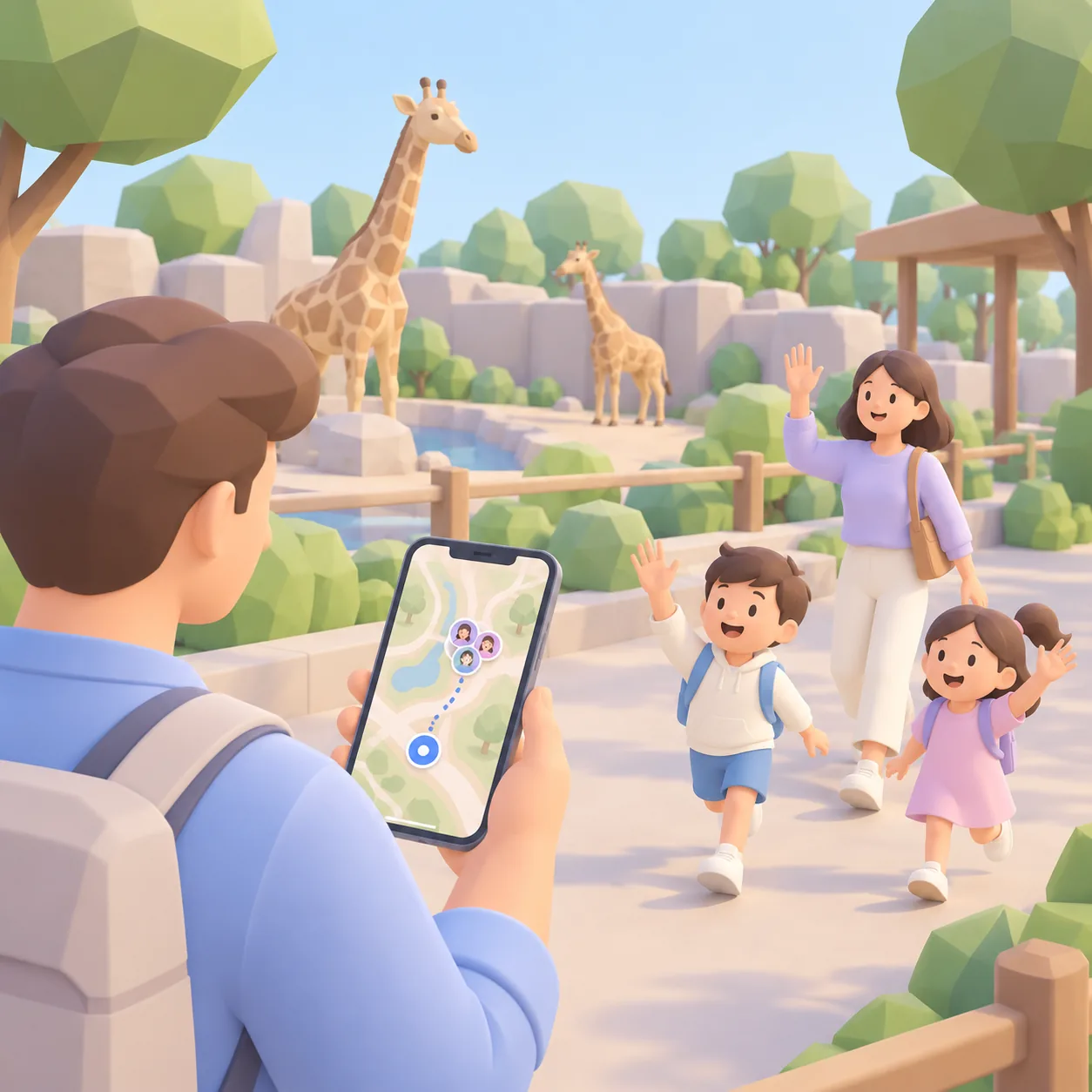
Find your group
Everyone sees where their family and friends are on the map and joins them without a phone call.
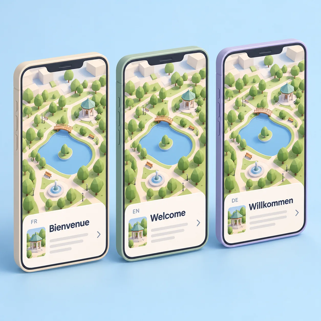
Everyone in their own language
The map appears in the phone's language, chosen from the languages you enable.
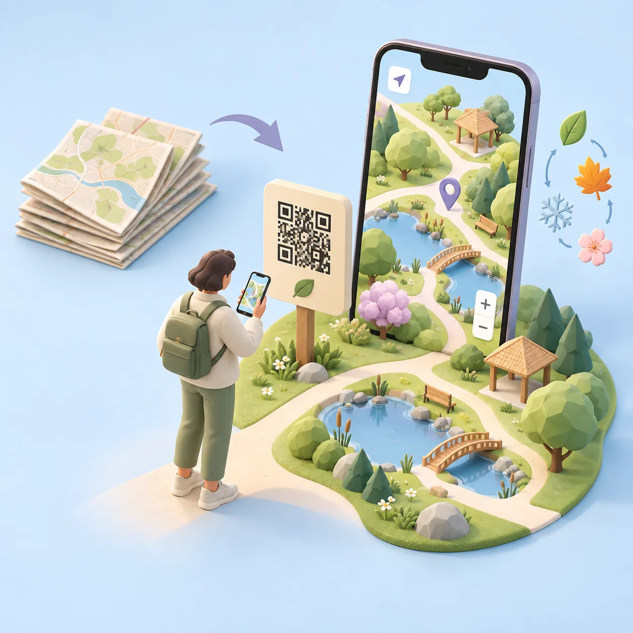
Zero paper
The map is updated online: nothing left to reprint.
For visitors
Three steps, nothing to install
Scan
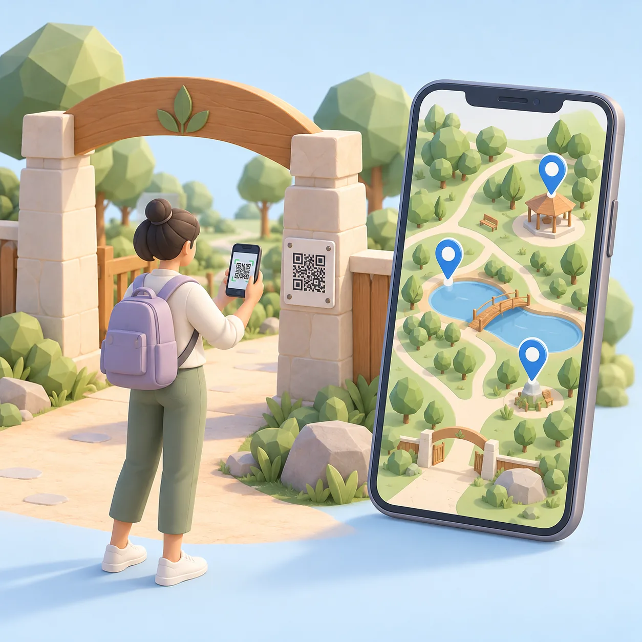
Visitors scan the QR code at the entrance, at the ticket desk or on their ticket.
Explore
The 3D map opens in the browser, with no app and no account.
Enjoy
They organise their visit around the enclosures and the day's events.
Interactive demo
Step into Cartomapix City.
Our demo town shows exactly what a visitor sees: spin, zoom, open the information cards. Your venue's map is made to measure.
To scroll the page, swipe outside the frame.
Frequently asked questions
What people ask us
Do visitors need to download an app?
No. After a scan, the map opens straight in the phone's browser, with no app and no sign-up.
Does it work on every phone?
Yes, on recent iPhone and Android browsers. Visitors have nothing to install.
Can we show educational content?
Yes. Each information card can include text and photos about the species in the enclosure.
How do we update the map?
From your online area: enclosures, feeding times and services can be edited with nothing to reprint.
Who makes the 3D map?
Cartomapix builds it for you from your existing plans. No technical skills needed on your side.
Let's see how it looks for your park.
A demo tailored to your venue, with no obligation.