Cartomapix VR
Immersion, to win people over.
- A life-size tour, headset on
- Ideal for meetings, trade shows or showrooms
- You feel the volumes and distances
Cartomapix project, Marseille
For this future Marseille campus dedicated to artificial intelligence, Cartomapix brings together virtual reality and an interactive 3D map: two complementary ways to discover it.
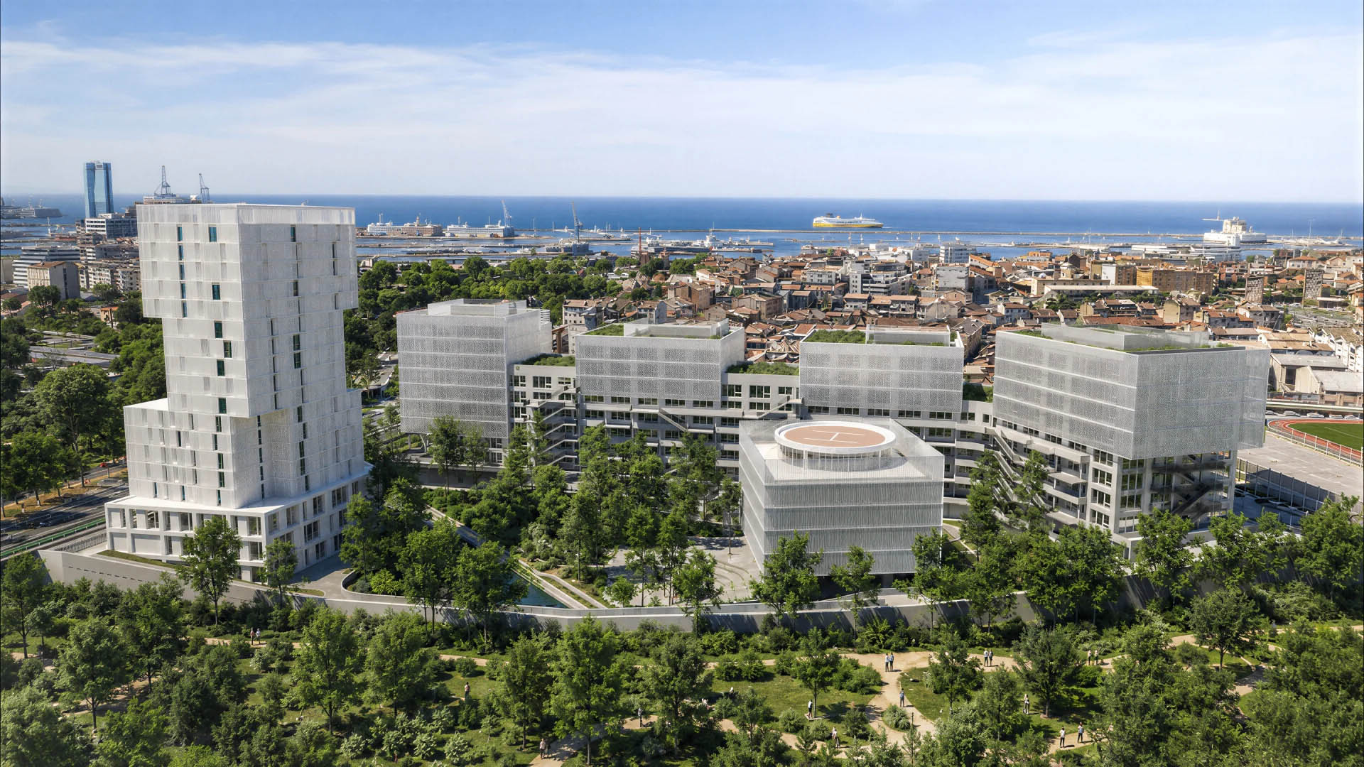
Image: Carta Associés, AER Studio.
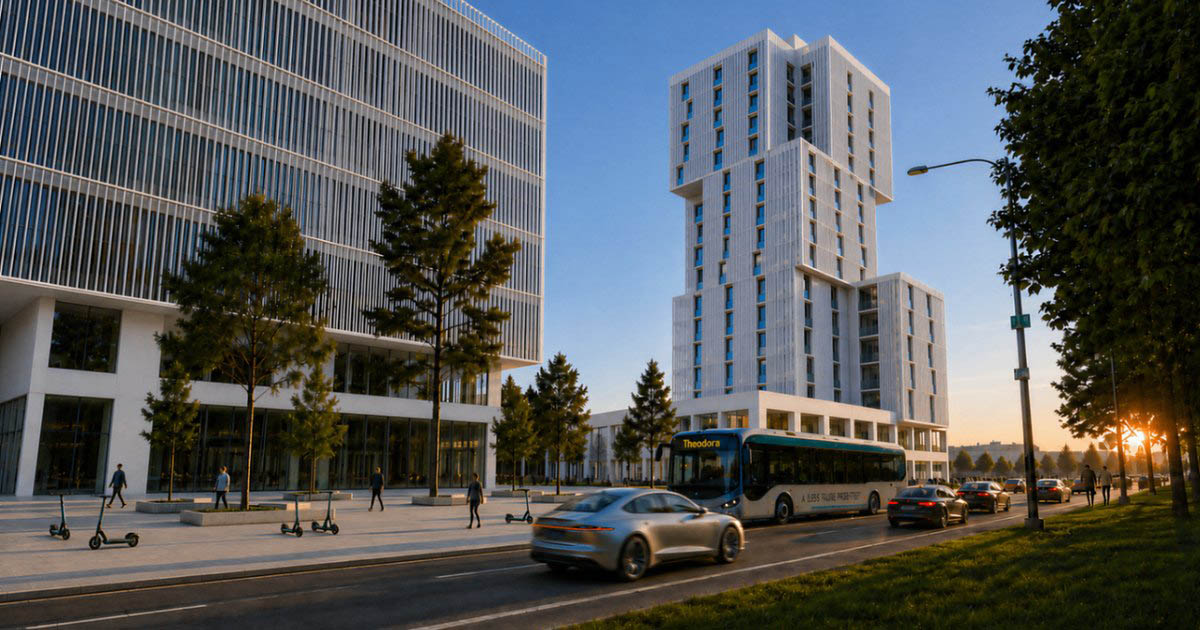
Theodora is taking shape in Gèze, facing the future Parc des Aygalades, on the doorstep of Euroméditerranée. The site is still under construction, yet it had to be shown today, to future occupants and the public alike.
Figures announced by the project developer.
The virtual reality tour and the interactive map meet two needs: winning people over face to face, and opening the campus up to as many people as possible.
Immersion, to win people over.
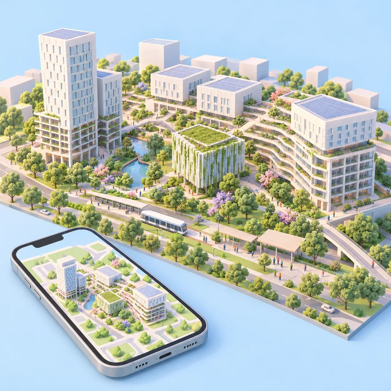
Open access, to reach everyone.
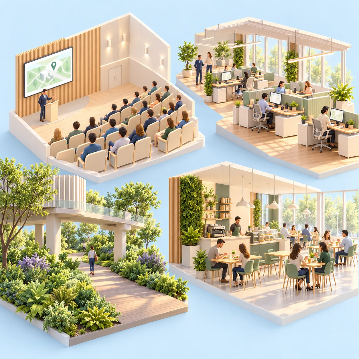
Offices, auditorium, dining and pavilion: each space can be explored at its true scale, in the headset or on the web map.
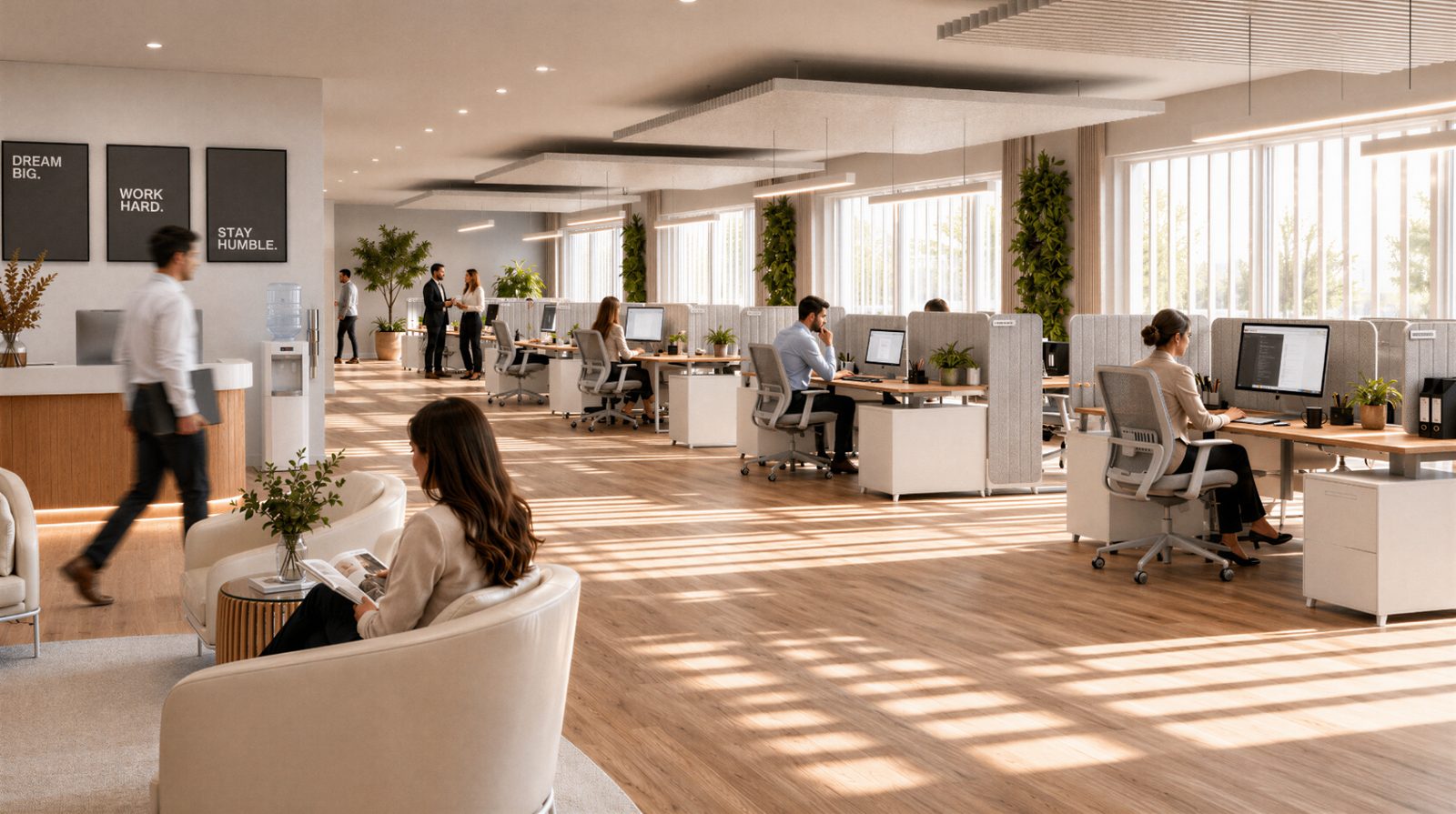
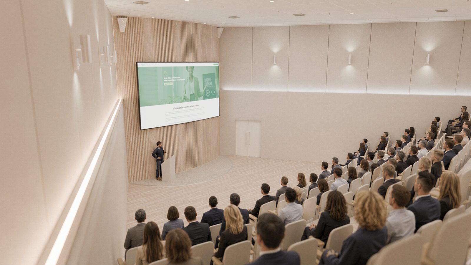
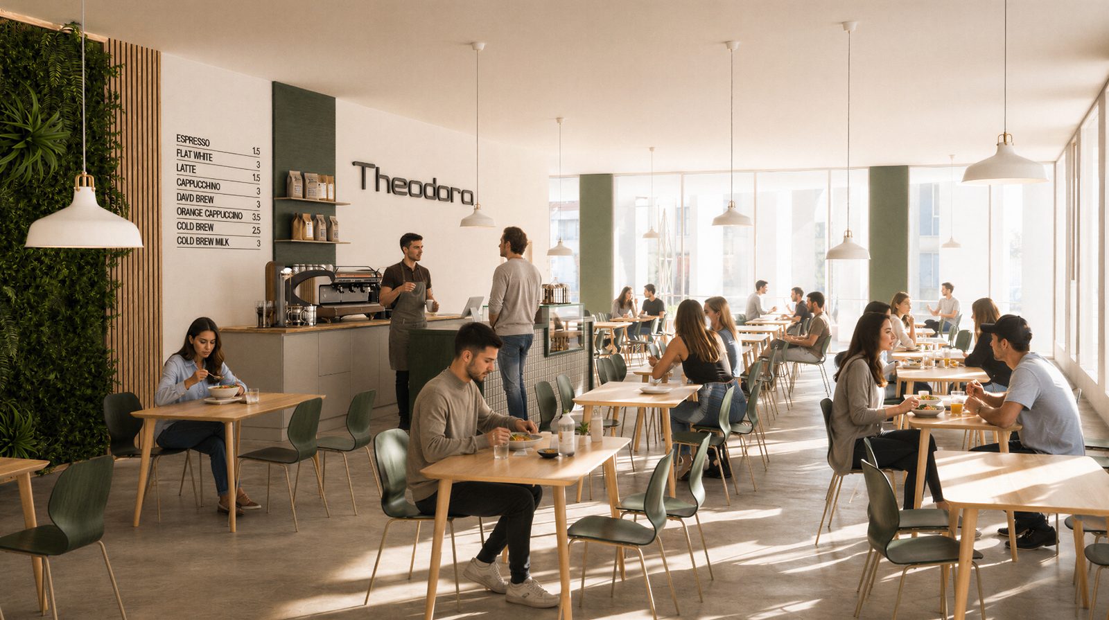
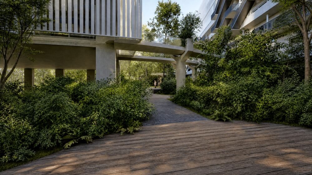
Why both? The headset leaves a lasting impression but only reaches the people in the room. The web map takes the tour everywhere, at any time. Together, they cover face-to-face presentations and large-scale reach.
Live demo
The map opens in your browser, with nothing to install. On a phone, it is exactly what a visitor sees after scanning the QR code.
Our method
Four steps, from the project documents to the headset and the QR code.
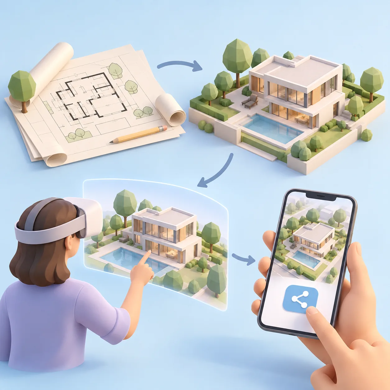
We start from the architect's and the project developer's documents.
An immersive experience designed for the headset, for meetings or trade shows.
A lightweight map that opens with a scan on any screen.
The headset for meetings, a link and QR code for everyone else.
Property, campuses, facilities, accommodation: tell us about your venue.