Interactive map for funfairsA funfair can't be mapped like a park.
It comes alive at night, its rides almost touch, its walkways change from one edition to the next. Cartomapix designs a 3D map built around these constraints.
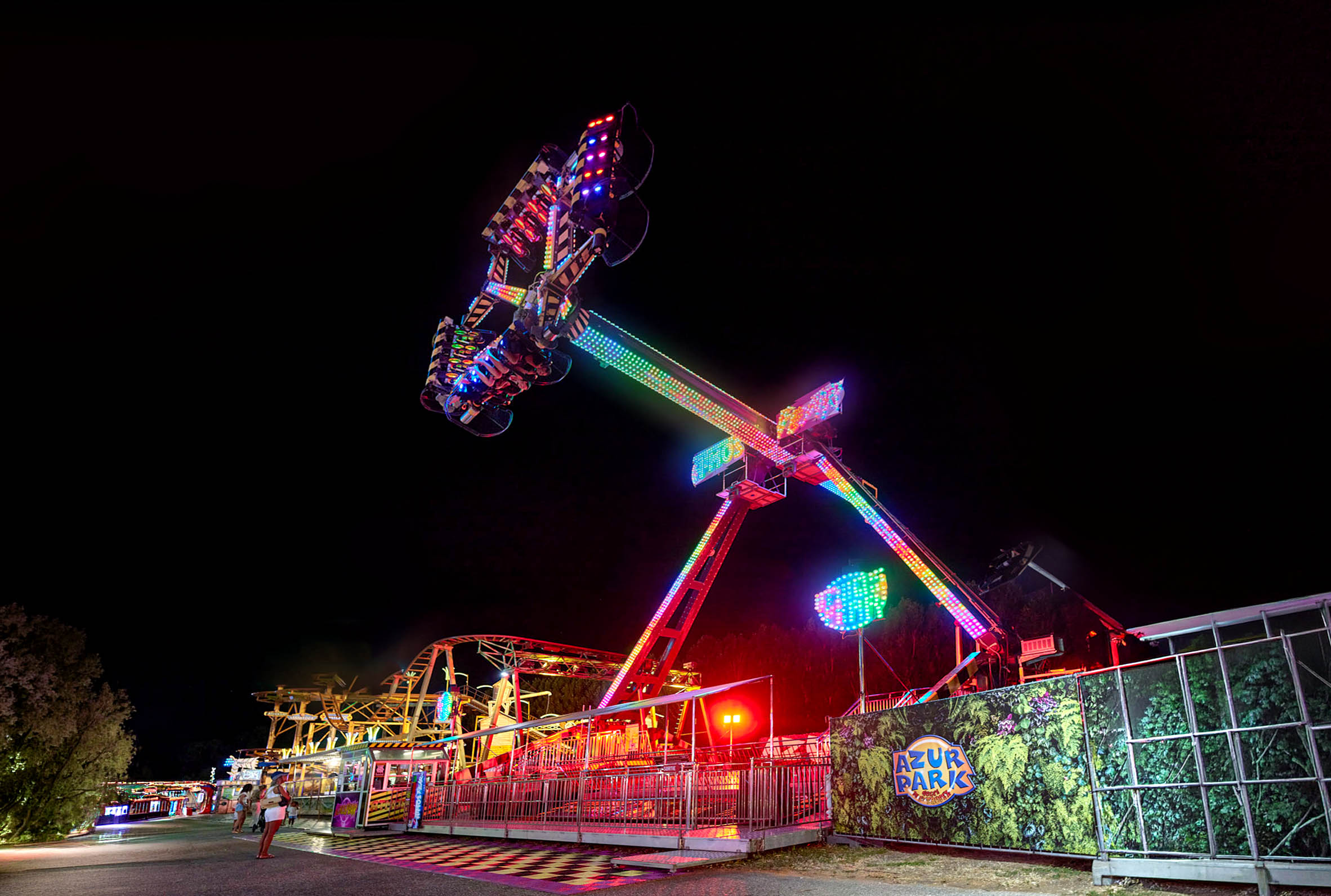
Why it's different
A funfair is a place apart. People mostly visit in the evening, the rides are packed tightly together, and the walkways are narrow and change with every set-up. A generic map gets lost there: it takes an interactive map made for it.
At night
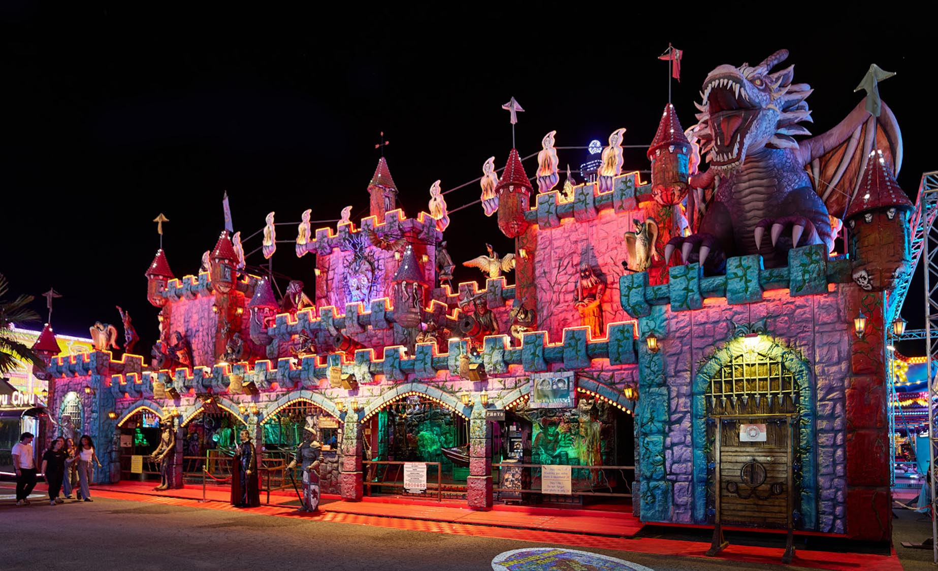
A night-time look, just like the fair
A funfair comes to life at dusk. The map follows suit: a night-time look, illuminated rides, and landmarks that stay easy to read on a phone in the dark.
Visitors find the same atmosphere on their screen as all around them, and get their bearings effortlessly.
Density
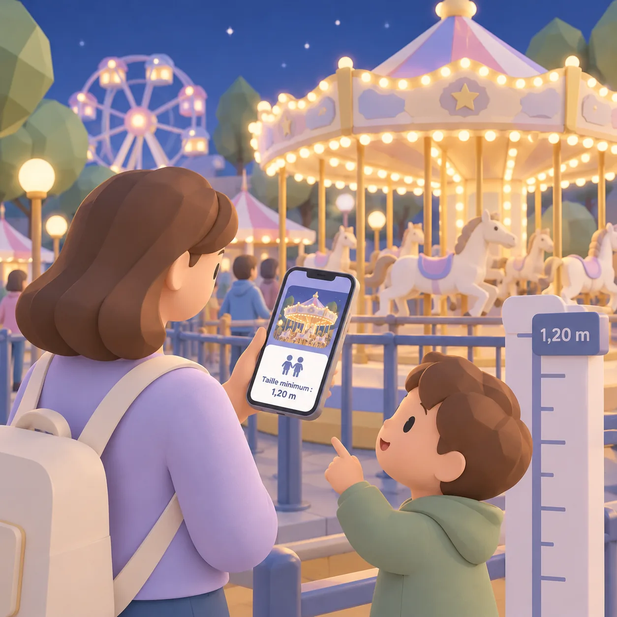
Rides packed close together, each one easy to tell apart
At a funfair, rides are squeezed into just a few metres. In 3D, you can turn around them and zoom in, and every ride is recognisable by its silhouette.
Every ride has its own information card: photo, minimum height, price or opening times. Search finds it in a few letters.
Getting around
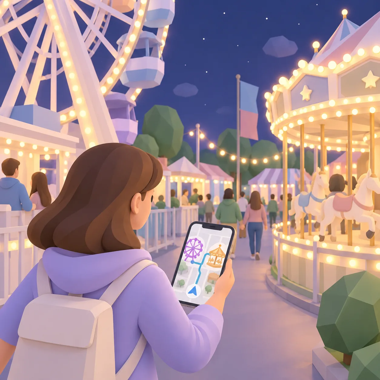
Narrow walkways, a clear path
Tight walkways, ride entrances and exits, ticket booths, food stalls: the map shows how to get around, not just where things are.
Visitors see where they are and reach the ride they are looking for, even in the middle of the crowd.
Hiding what's not there
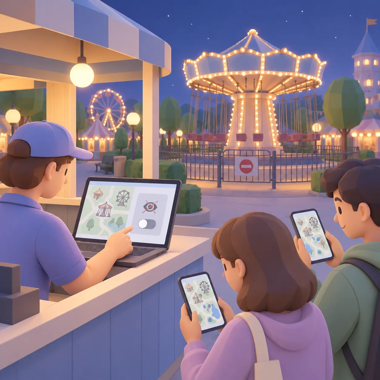
A ride missing? It disappears from the map
A ride under maintenance, a closed area, a different set-up from one season to the next: from your management area, you hide whatever is not there.
The map shows what is actually set up tonight: visitors never go looking for a ride that is not there.
Case study: Azur Park in Gassin
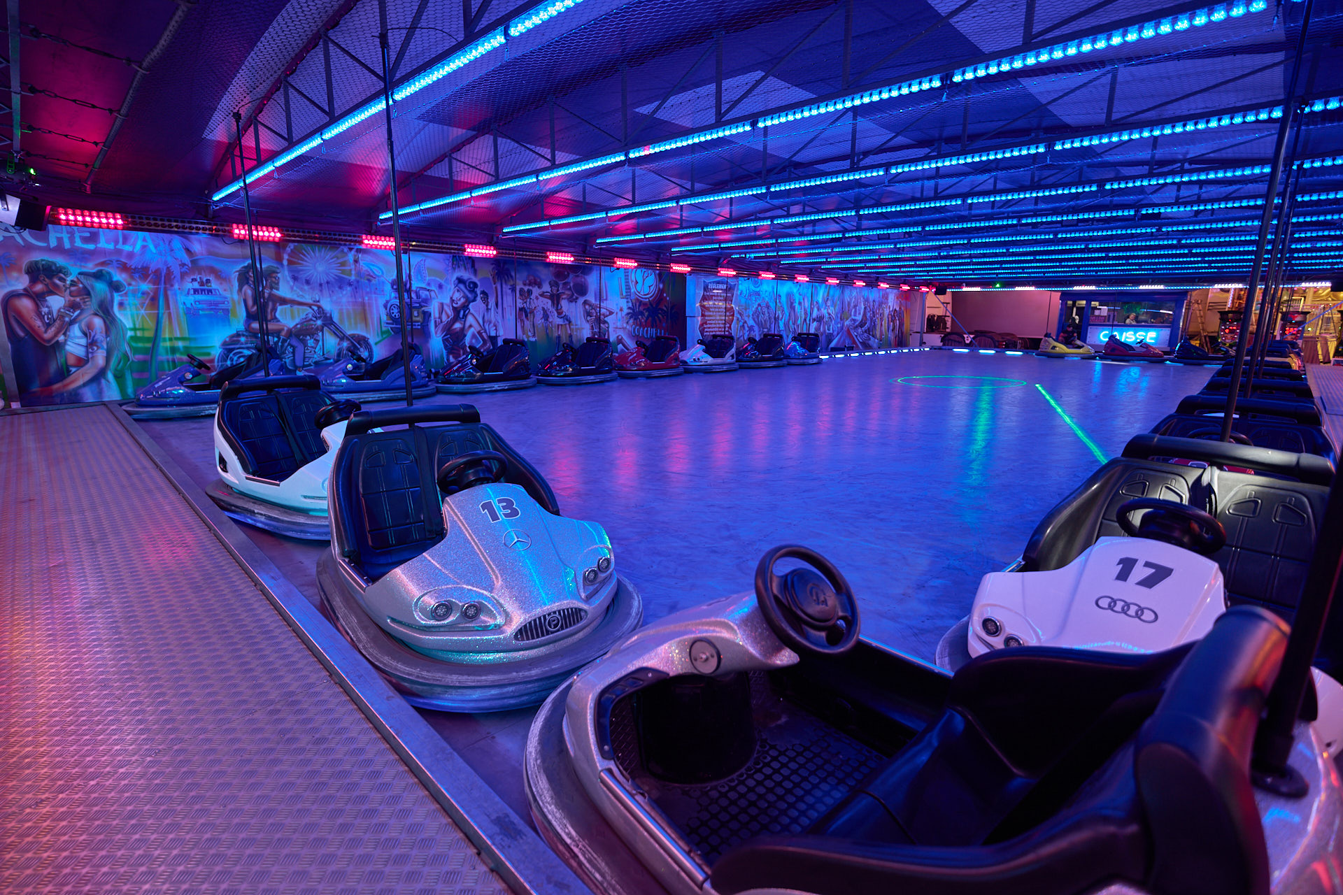
A night-time look, tightly packed rides, walkways specific to the park: the Azur Park map was designed around all these constraints.
For everyone
What your visitors have in hand.
The features of the Cartomapix map, adapted to funfairs.
Find your group
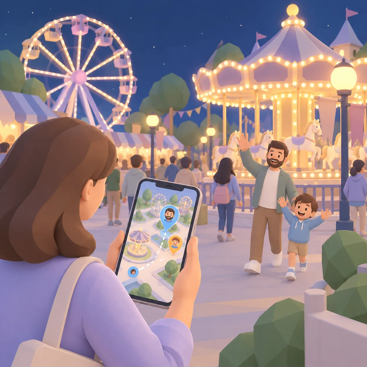
Families and groups of friends see each other on the map and meet up without phoning.
Tonight's programme
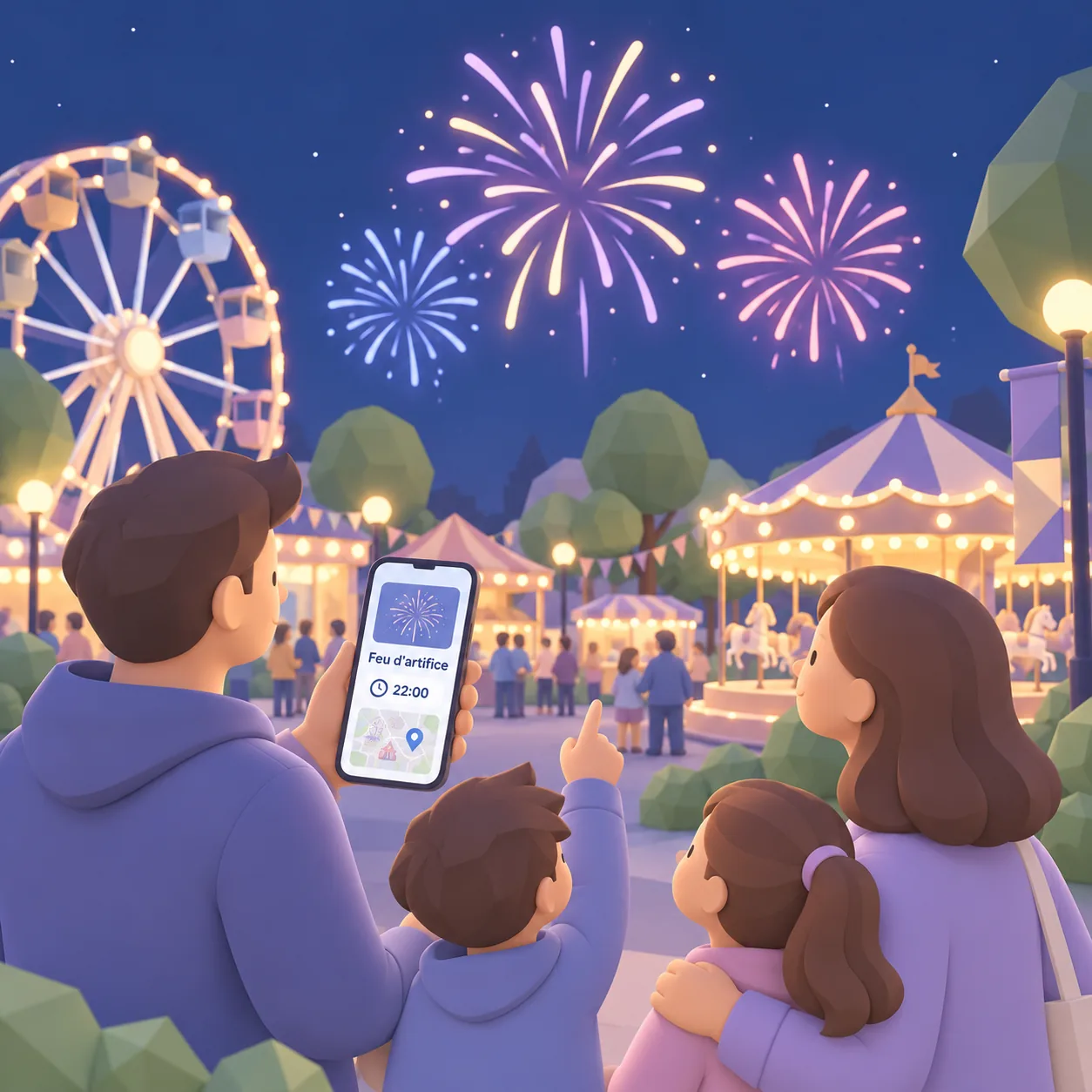
Shows, fireworks and activities, placed on the map with their times.
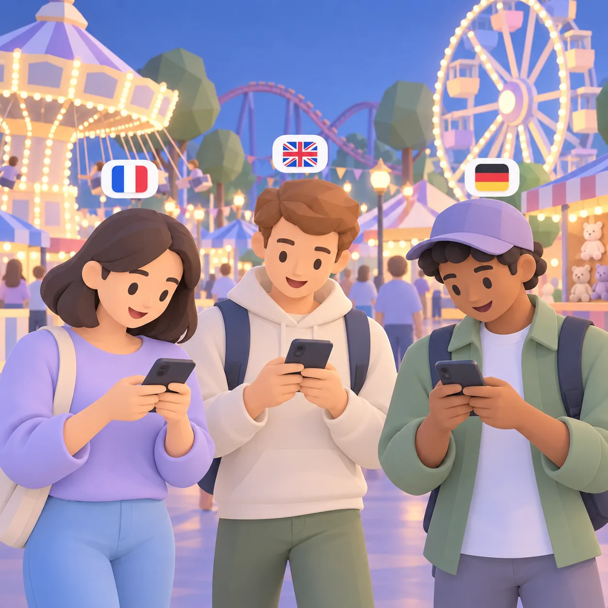
Everyone in their own language
The map appears in the phone's language, chosen from the languages you have enabled.
For visitors
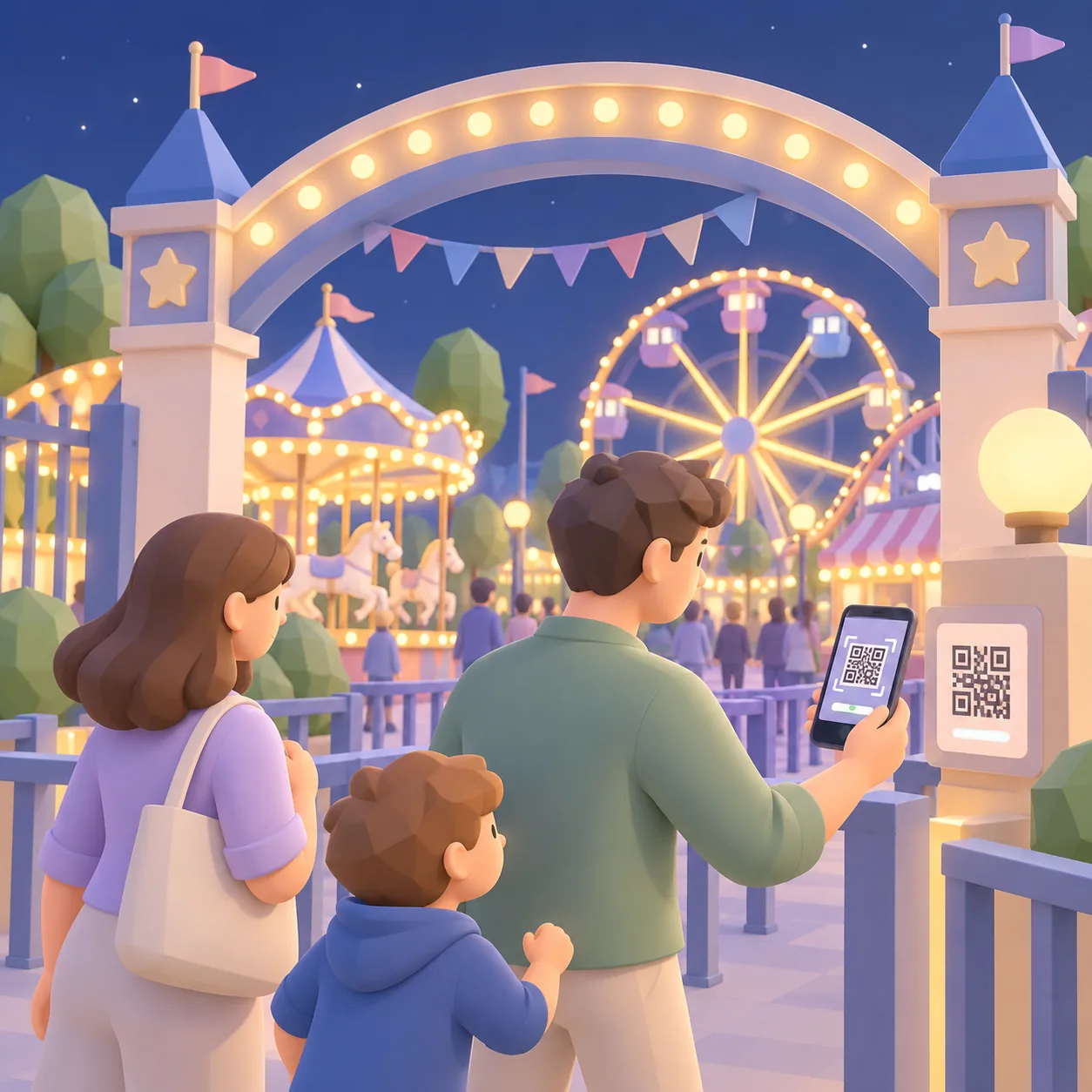
Three steps, nothing to install
Scan
Visitors scan the QR code at the entrance, at a ticket booth or on a sign.
Explore
The 3D map opens in the browser, with no app and no account.
Enjoy
They find their rides, food and exits, and meet up with their group.
Frequently asked questions
What fairground operators and organisers ask us
Do people need to download an app?
No. The map opens straight in the phone's browser after a scan, with no app and no sign-up.
Is the map easy to read at night?
Yes. The look is designed for night-time: illuminated rides and high-contrast landmarks, easy to read on a phone in the dark.
The rides change from one edition to the next. How does that work?
From your management area, you hide the rides that are not there and update the information cards. The QR code stays the same.
Who creates the 3D map?
Cartomapix creates it for you, from your site layout and photos of the rides.
Does it work on every phone?
Yes, on recent iPhone and Android browsers. Nothing for visitors to install.
Let's see what it looks like at your funfair.
A demonstration tailored to your site, with no obligation.